ERIC KRAUSE
In business since 1996
- ©
Krause House Info-Research Solutions -
_____________________________________________________________________________________
ERIC KRAUSE REPORTS
MY HISTORICAL REPORTS
PUBLISHED ON THE INTERNET
Krause House Pages,
Website Design, and Reports © by
Eric Krause, Krause
House Info-Research Solutions (© 1996)
webmaster:
krausehouse@krausehouse.ca
© Krause House
Info-Research Solutions
SAMUEL SPARROW ~
18TH-CENTURY CAPE BRETON ISLAND
![]() Return
to the Samuel Sparrow Home Page
Return
to the Samuel Sparrow Home Page
TRANSCRIBED DOCUMENTS
SPARROW'S WILL:
ENGLAND AND SOUTH CAROLINA IN MAPS AND PLANS

A Brig - A
typical
merchant ship - like
the Industry?
ENGLAND
![]()
http://www.londonancestor.com/maps/london-central.htm
-------------
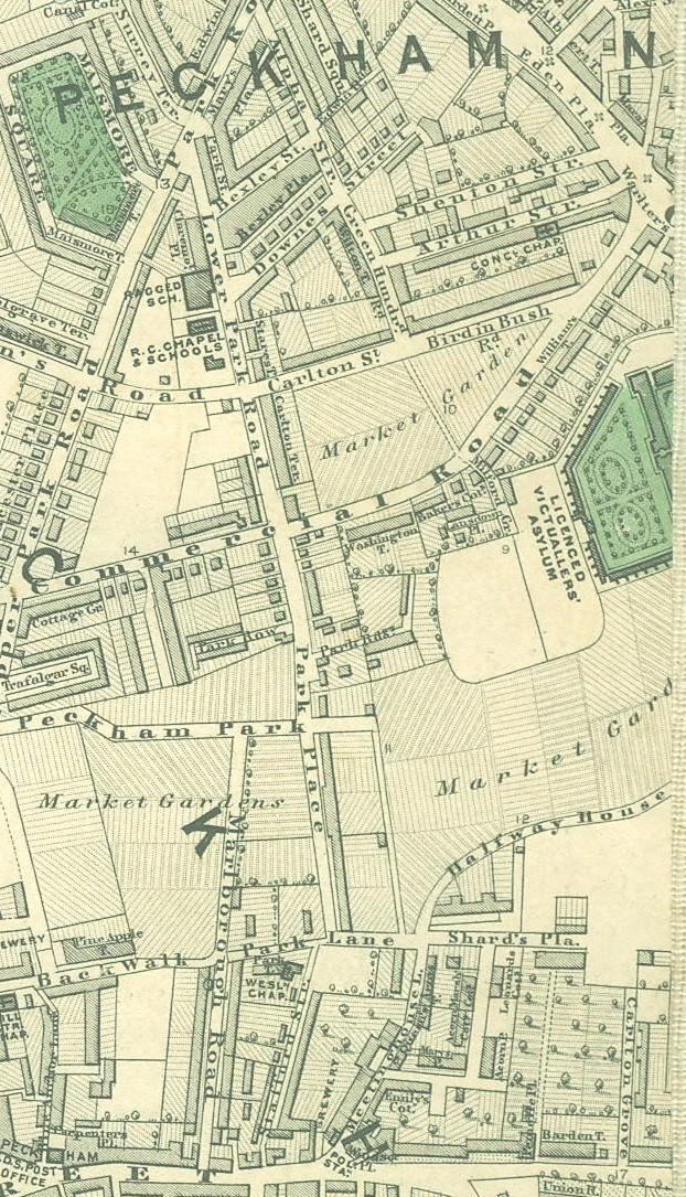 |
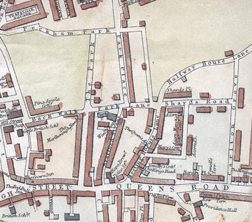
| Shard's Place |
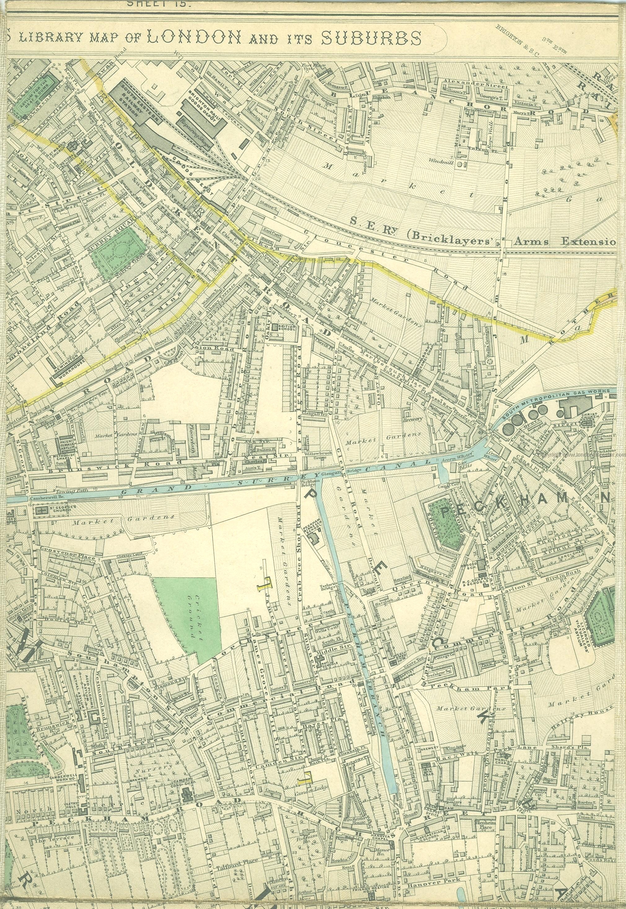
http://www.mappalondon.com/london/south-east/peckam.jpg
-------------
-------------

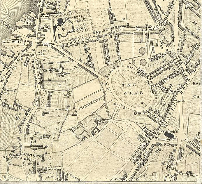
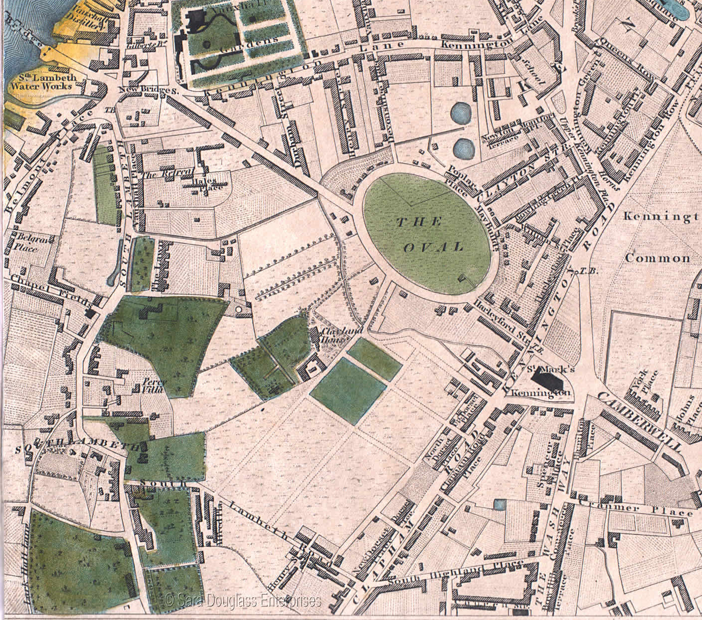
South Lambeth
http://www.londonancestor.com/maps/bc-lambeth-n.htm and http://users.bathspa.ac.uk/greenwood/ and http://www.oldlondonmaps.com/greenwoodpages/greenwoodsouth11a.html
-------------

London,
England,
Camberwell - St. Giles
-------------
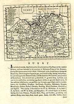
Surrey,
England,
c. 1780 ~ From Grose Antiquities of England and Wales, first published 1772-1773
-------------
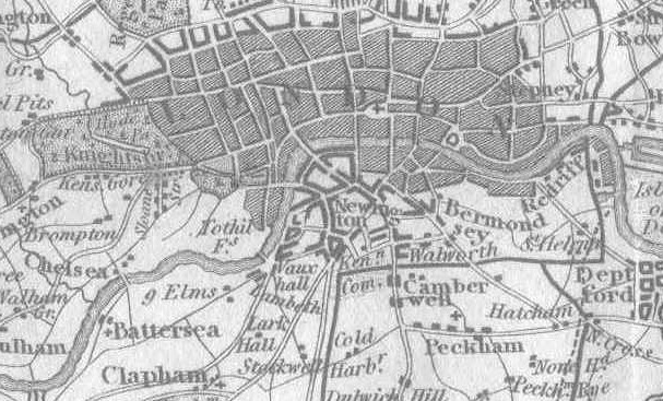
Surrey,
England - Showing
Camberwell, Peckham, Lambeth,1819 ~ Portion from Leigh's New Map of the Environs of London, Published by Samuel Leigh, 18, Strand., Drawn and Engraved by Sidy. Hall, 14, Bury St. Bloomsby, Published 1819
-------------
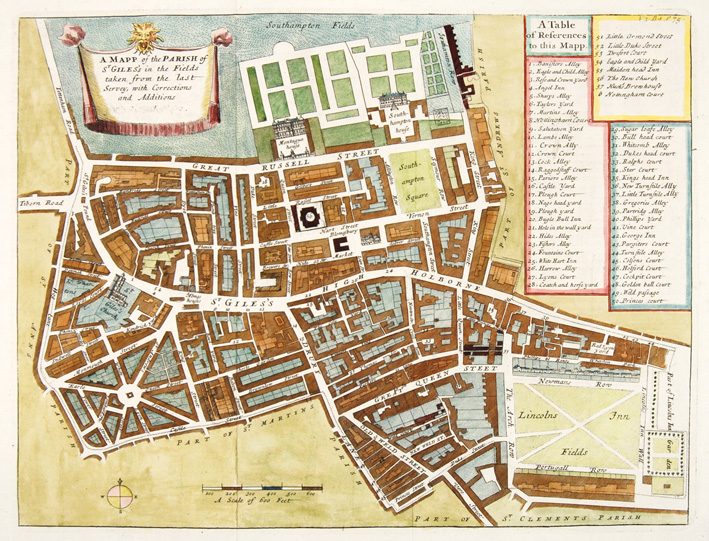
John Stow,
A MAPP of the PARISH OF St GILES’S IN THE FIELDS TAKEN FROM THE LAST SURVEY,
WITH CORRECTIONS AND ADDITIONS (Publisher: John Strype Colouring: Hand
coloured Atlas: A Survey of the Cities of London & Westminster), 1755
http://www.old-church-galleries.com/stock_9460.asp
SOUTH CAROLINA
Sparrow made out his will on July 7th, 1799 in South Carolina, with a concern that the "I find the yellow fever prevailing and may prove fatal. " This was no idle fear, for on October 24, 1799, in Charleston, the following was reported: "City in the midst of a yellow fever epidemic. Funerals range between 5 to 8 per day, with the highest for one day being 18. The dreadful disease kills some 362 people before it subsides." http://www.bcdcog.com/publications/Month_In_Review/october02.pdf ]
Of interest, in the same year, in Nova Scotia, the assembly met on Friday, 7 June, 1799 (7th general assembly, 7th and last session). and Governor Wentworth in his speech recommended quarantine laws to guard against "yellow fever."

South
Carolina, United
States - c. 1792 - 1868:
Districts and Old Counties
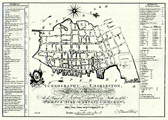
IIchnography of Charleston, South-Carolina : at the request of Adam Tunno, Esq., for the use of the Phoenix Fire-Company of London, taken from actual survey, 2d August 1788 / by Edmund Petrie. [London] : E. Petrie, 1790.